If you’re driving across the Sierra on Tuesday or Wednesday this week, the trip is going to look very different from the clear roads of the past ten days. A Pacific trough is dropping snow levels to pass elevation from Tuesday morning onward, and by Tuesday night I-80 and Highway 50 are likely to be in chain controls at the same time, with no practical alternative through the central range. If your timing is flexible, Monday or Thursday are the two clean windows.
The National Weather Service office in Reno has a Winter Storm Watch up for the Sierra Nevada from 5 a.m. Tuesday, April 21 through 5 p.m. Wednesday, April 22, with an upgrade to a Warning likely once confidence firms up. The NWS Weather Prediction Center has the same setup in its national discussion: onshore flow and upper-level impulses driving rain and higher-elevation snow across the Pacific side of the West.
The Watch covers the Greater Lake Tahoe Area, the Lassen-Eastern Plumas-Eastern Sierra counties, and Mono County. NWS Reno is calling for 4 to 10 inches above 6,500 feet, 12 to 18 inches along the highest peaks, and 1 to 4 inches at lake level, with the west shore most exposed. Ridgetop winds could gust to 90 mph. Separately, a Lake Wind Advisory runs today (Monday, April 20) from 11 a.m. to 10 p.m. PDT: southwest winds 10 to 20 mph, gusts to 35, 1 to 3 foot waves on the lake.
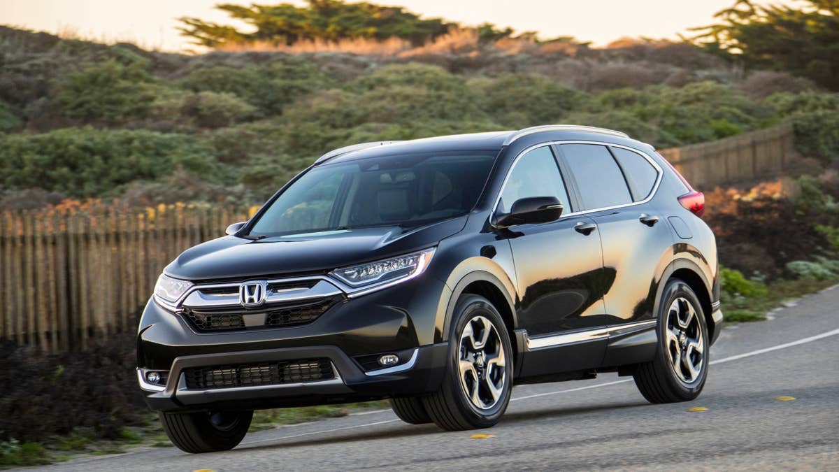
This Watch lands just over a week after a considerably stronger system dropped 2 to 3 feet on the Sierra and closed I-80 in both directions on April 12. This one is smaller, but it arrives late enough in the season that most people have already swapped to summer tires and put the chains in the garage. California’s April 1 snowpack came in at 18 percent of average, the second-lowest April reading on record, with the Northern Sierra at 6 percent. March was the warmest and driest on record statewide.
Timing and Highway Impact
Snow levels start Tuesday morning near 6,800 feet. That puts the first chain controls over the top of Donner Summit between Kingvale and Donner Lake. Through the day, steadier snow moves in and levels drop toward 6,000 feet, which pushes controls down to Blue Canyon and Truckee. Tuesday night is where this storm earns the Watch. Snow showers continue, another 1 to 3 inches possible at lake level, much more at pass elevation, and the wind picks up.
Wednesday morning is the break. Snow tapers before 11 a.m., roads clear, chain controls come off through midday. Then a second system moves in Wednesday afternoon into the evening, which will likely put controls back up over Donner before clearing out overnight. Thursday: sun, high near 52 at South Lake Tahoe.
I-80 over Donner Summit (7,240 ft) is the primary concern. It’s the main east-west artery across the Northern Sierra, controls are near-certain Tuesday and probable Wednesday evening. Highway 50 over Echo Summit (7,382 ft) faces the same exposure with fewer plowing resources. When both corridors tighten at once there is no practical alternative through the central range. US-395 along the eastern Sierra gets gusty winds and accumulating snow on the side roads toward Mammoth and June Mountain. Carson Pass on CA-88, CA-89, anything above roughly 7,000 feet, all of it tightens earlier than the Interstates.
Road Conditions and What to Expect
The pattern on a spring Sierra storm like this is not deep snow, it’s transitions. Pavement will cycle through wet, slushy, snow-packed, and refrozen inside the same drive. The worst of it tends to land in two places: bridges and overpasses, which ice before anything else, and the last mile or two before each summit, where the grade steepens and snow levels catch up to the roadway quickly.
Controls will likely start as R-1 (chains or M+S tires required on commercial vehicles) and escalate to R-2 (chains on everything except 4WD/AWD with M+S tires on all four corners) as accumulation builds Tuesday afternoon and evening. R-3, which requires chains on every vehicle including AWD, is less common but possible overnight Tuesday into Wednesday if winds pick up and visibility collapses. Short closures for spin-outs and over-the-hood drifting are more likely than a full multi-hour shutdown based on current guidance, though the April 12 system did close I-80 in both directions and a smaller one can do the same if the timing lines up badly.
AAA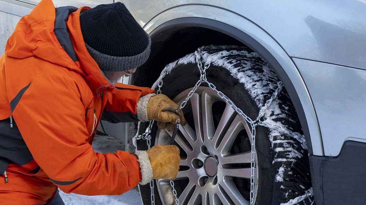
Visibility is the part drivers underestimate. Wind-driven snow across open sections of I-80 near Boreal and along the exposed stretches of US-395 can drop visibility to a few car lengths with almost no warning. If you can’t see the tail lights of the car ahead, slow down well before you think you need to. Tuesday night is when all of this converges: falling snow, dropping snow levels, picking up wind, and traffic from people who left later than they should have.
Before You Go
Chains are required above 4,000 to 5,000 feet during active controls. AWD is not exempt from R-3 restrictions. The statewide 511 line carries live chain-control status for California; Nevada drivers can dial 511 in state. Carry chains even if it looks clear at departure. Conditions shift fast on the passes.