The same storm system that buried Colorado’s mountain passes and sent Front Range temperatures crashing into the teens overnight is now driving a dangerous severe weather outbreak across the central and eastern United States. From the Plains to the Great Lakes and into western New York, today’s threat includes tornadoes, wind gusts up to 60 mph, large hail, and major river flooding — while Colorado begins a rapid recovery.
Severe Weather: Where the Threat Is Now
AccuWeather meteorologists have placed a high risk of severe weather from central Arkansas to southwestern Ontario today, including much of Ohio, western Pennsylvania, and southwestern New York, with damaging wind gusts and hail the primary threats.
Friday night was the most dangerous window, targeting southeastern Minnesota, eastern Iowa, northwestern Illinois, and southwestern to central Wisconsin. Cities including Topeka, Kansas City, the Quad Cities, Cedar Rapids, Dubuque, and Madison all saw elevated threat. Late in the evening, storms organized into a squall line producing widespread wind gusts.
AccuWeather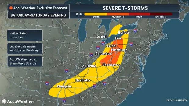
AccuWeather Senior Meteorologist Adam Douty warned: “Make sure your cell phone is charged, notifications are turned on, and you have multiple ways to get warnings that can wake you in the middle of the night. Never depend solely on outdoor tornado sirens, especially at night.”
By Sunday, the severe weather peak will have passed for most areas, though gusty thunderstorms may extend from the northern Gulf Coast to the Atlantic Coast. Much of the Southeast is in serious need of rainfall amid long-term drought and elevated wildfire danger.
Getty Images
Western New York: Storms Arrive Today
Buffalo, Rochester, and Albany are all in the storm’s path today. NWS Buffalo has confirmed showers and thunderstorms arriving Saturday into Saturday night ahead of a cold front, with damaging wind gusts as the primary threat and an isolated tornado possible. Keep alerts enabled tonight, and do not rely on outdoor sirens as your only warning source.
Flooding: Upper Midwest
Moderate to major flooding is ongoing and not resolving quickly. The Muskegon and Grand rivers in Michigan and the Shiocton, Menominee, and Wolf rivers in Wisconsin are at or approaching major flood stage, with some expected to crest at record levels and remain above flood stage for a week or more. Minor flooding along the Wabash River in Indiana and the Mississippi above St. Louis may persist for several weeks even if rainfall stops entirely.
Where It Started: Colorado
A late-season cold front dropped Front Range temperatures more than 50 degrees in under 36 hours. Denver hit the upper 70s Thursday. By Friday night, lows had fallen to 18 to 24 degrees, triggering a NWS Freeze Warning. Above-ground irrigation lines that were not drained likely failed. Sensitive vegetation and fruit trees will show damage. Colorado’s snowpack was at just 17 percent of the median peak as of April 13, the worst in four decades.
Recovery is underway. Denver is sunny and near 60 today, with the low 70s expected Sunday. Mountain passes are clearing, though residual ice remains possible on shaded sections of I-70 and Berthoud Pass. One caution for southern Colorado: NWS Pueblo has issued a Freeze Watch for Colorado Springs tonight into Sunday morning.
If You Are Driving This Weekend
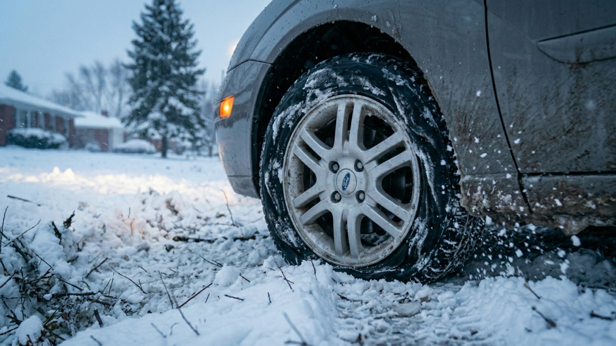
In Colorado, residual ice on shaded sections of I-70 and Berthoud Pass is still possible this morning. CDOT’s Traction Law requires 3/16-inch minimum tread depth and remains in effect through May 31 between Dotsero and Morrison. Cold temperatures drop tire pressure 1 to 2 PSI per 10 degrees. AWD helps you move but does nothing to shorten stopping distance on ice. Carry chains, a blanket, water, a phone charger, and a flashlight if crossing the passes.
On I-25, bridge decks and overpasses between Fort Collins and Colorado Springs may still carry black ice in shaded areas this morning. Treat every overpass as a risk.
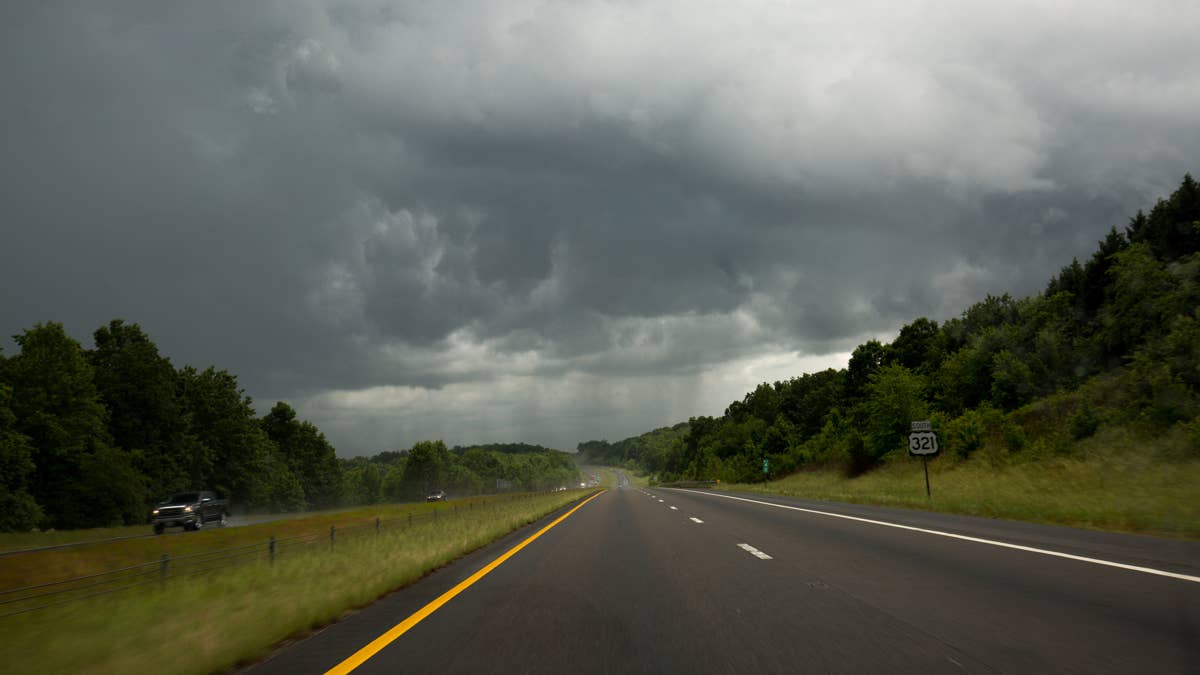
In the Midwest and western New York, the threat is severe thunderstorms moving fast with little warning. A squall line producing 60 mph gusts can drop visibility to near zero in seconds. Know your shelter options before you leave. If warnings are issued while you are on the road, get off the highway and into a sturdy building; a vehicle is not a safe place in a tornado or severe squall line.
Wherever you are driving, charge your phone, enable wireless emergency alerts, and check road and radar conditions before you go.